| |||||||||||||||||||||||||||||||
|
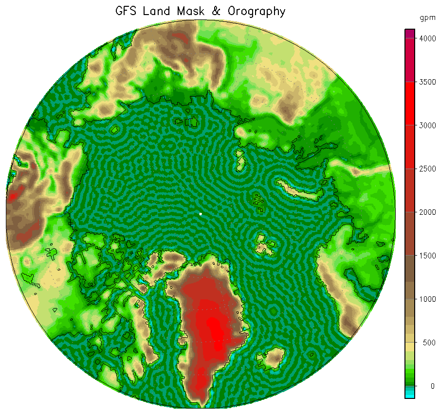
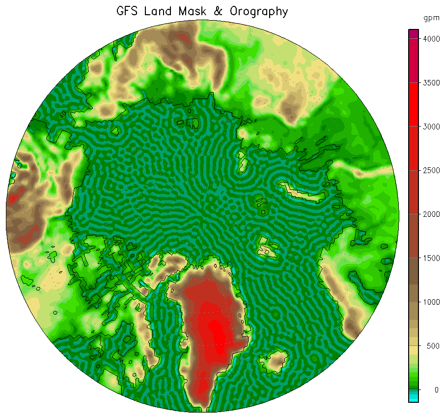
Click on the dates or types to select other images. Clicking on an already selected date or type enables hover mode. Then the images will switch on mouse movements, but be patient the first time an image loads (or preload them first). Clicking on the image steps to the next date or stops a running animation. Data are GFS analyses or 24-hour forecasts. The latter shouldn't deviate much more from reality than any model-based analysis does, but may have systematic errors. See the page with extended GFS forecasts for some details. Note that the sea ice concentration has poor resolution
(along a meridian) compared to other products, including the
NCEP sea ice
analysis it is based on.
The displayed resolution (0.5°) is even less than the internal GFS
resolution (Gaussian grid with about 0.3125° for surface values;
available in the
[Home] |